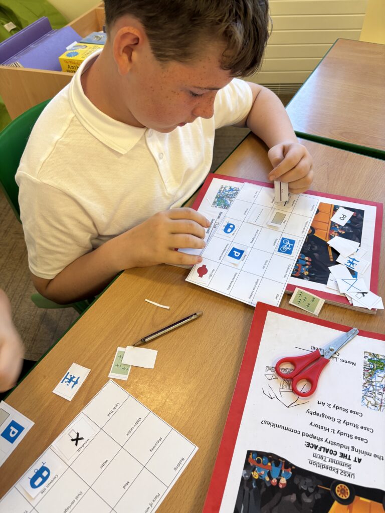
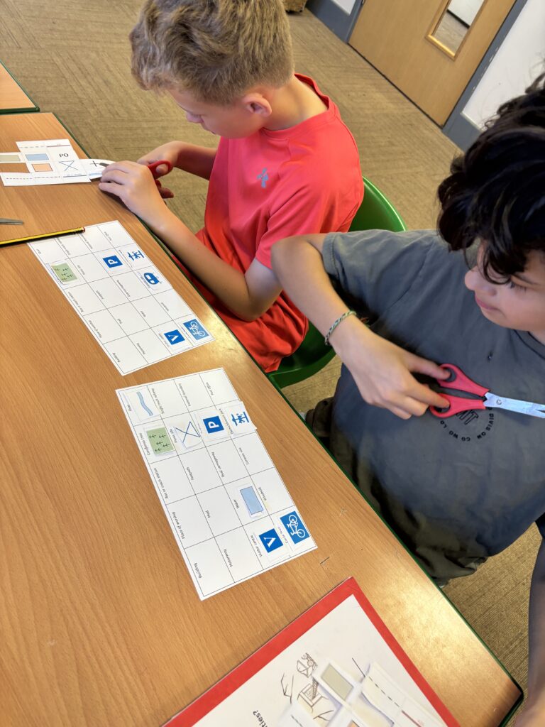
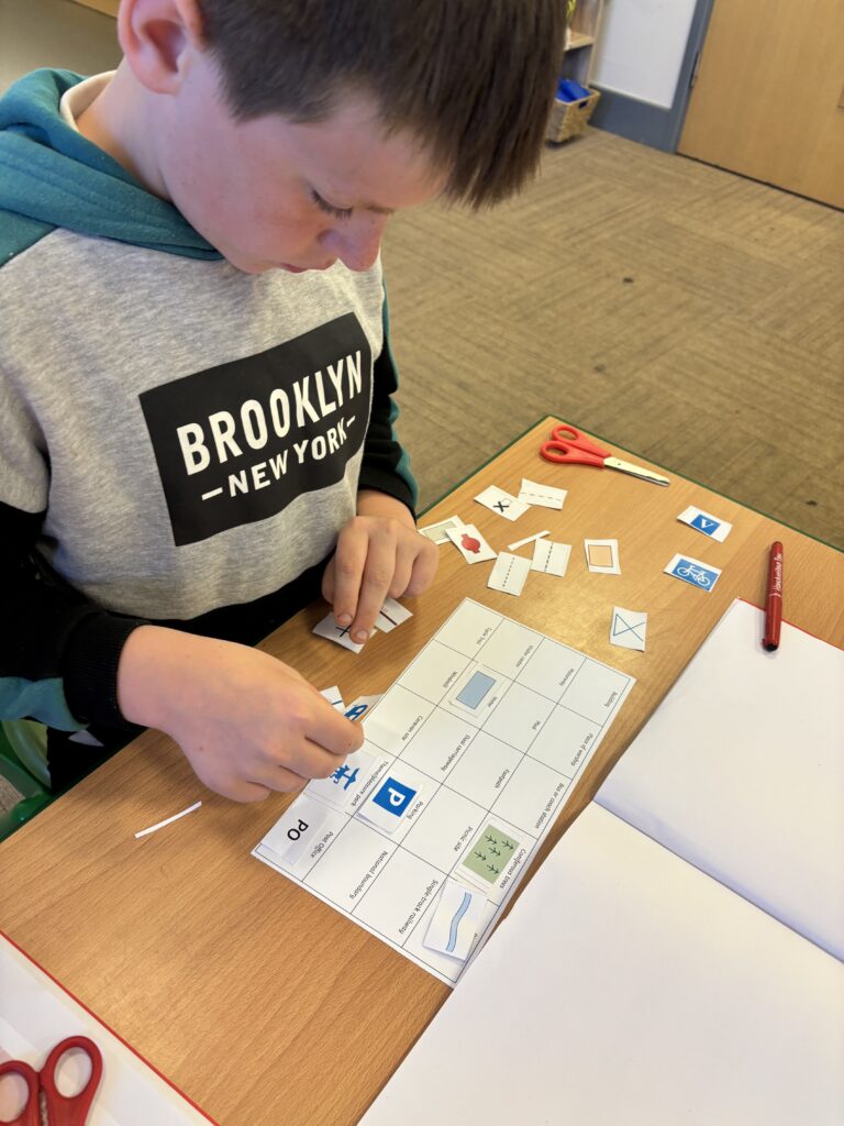
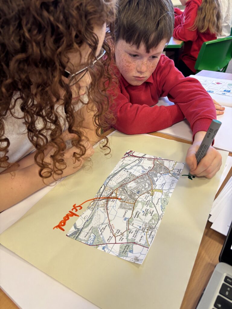
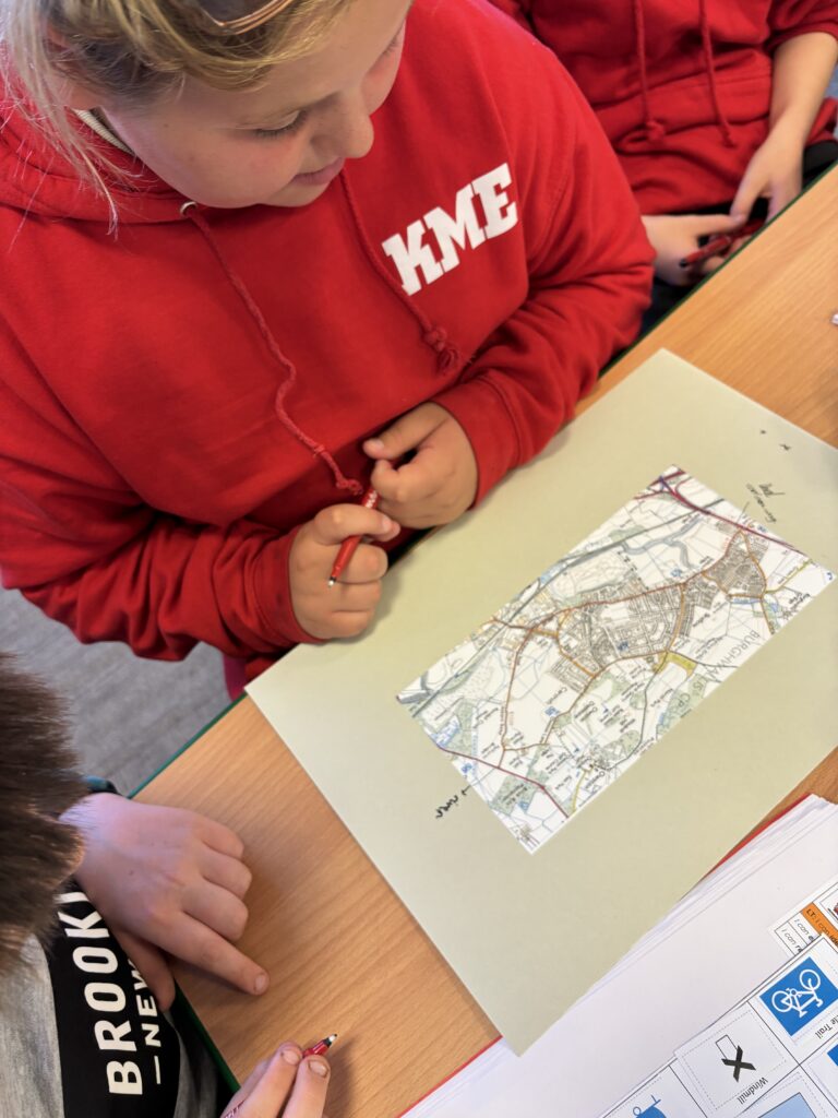
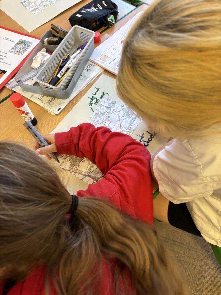
Today, Crew Hamill began their first lesson for Case Study 2 – Geography. We became geographers by looking in detail at maps, identifying what they are, why they are used and what they help with. We also looked in detail at the different symbols that can be found on a map and what they mean. We worked in pairs to match up the symbols to their meaning. Once we had more of an understanding on this, we worked in pairs to identify the symbols on a map of our local area, identifying schools, buildings, dual carriageways, water, railways and more.