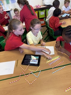
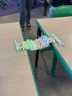
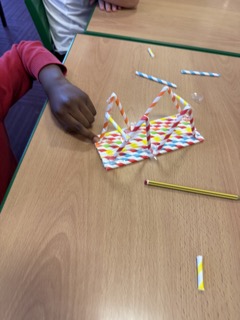
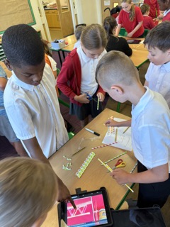
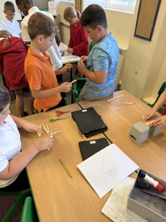
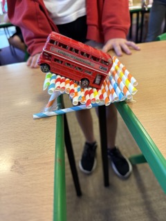
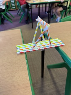
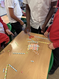
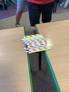
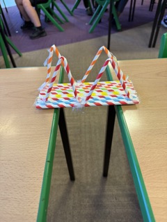
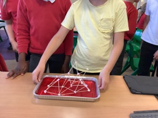
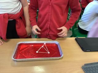
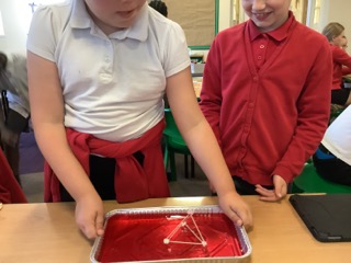
Todays theme of the day was STEM in the real world. We discovered that STEM stands for science, technology, engineering and mathematics. We started the morning by building a bridge. We started by designing our bridge and then we constructed it using straws and tape. We then tested whether our bridge was fit for purpose.
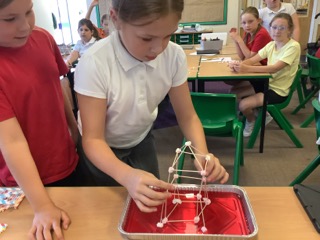
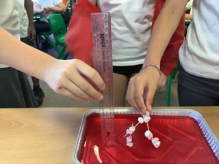
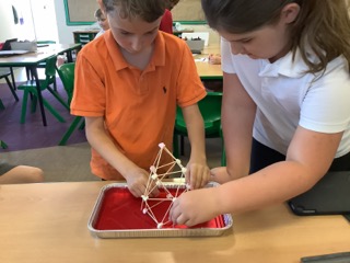
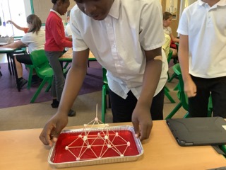
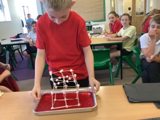
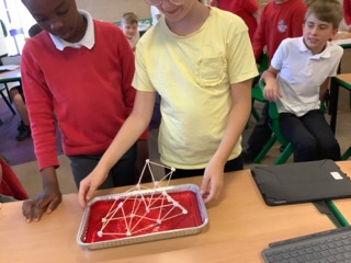
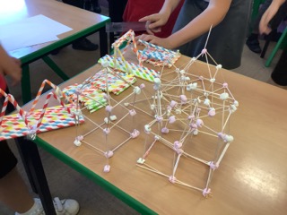
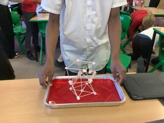
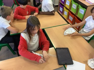
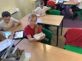
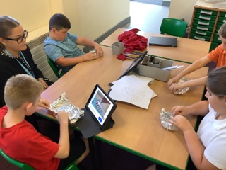
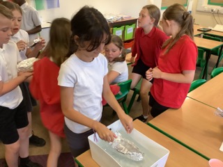
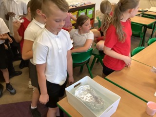
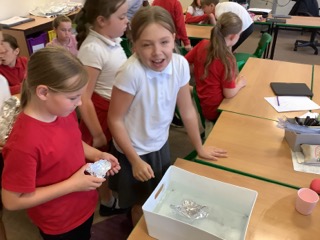
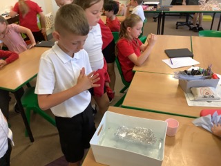
We then tried to construct a building which was at least 15cm high which would withstand an earthquake. We designed our building first and then constructed it using cocktail stick and mini marshmallows. We also designed a boat with only a piece of foil. We had no other materials and it had to float.
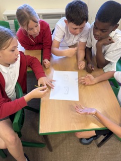
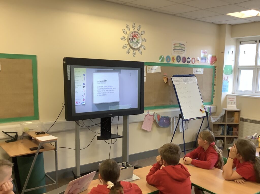
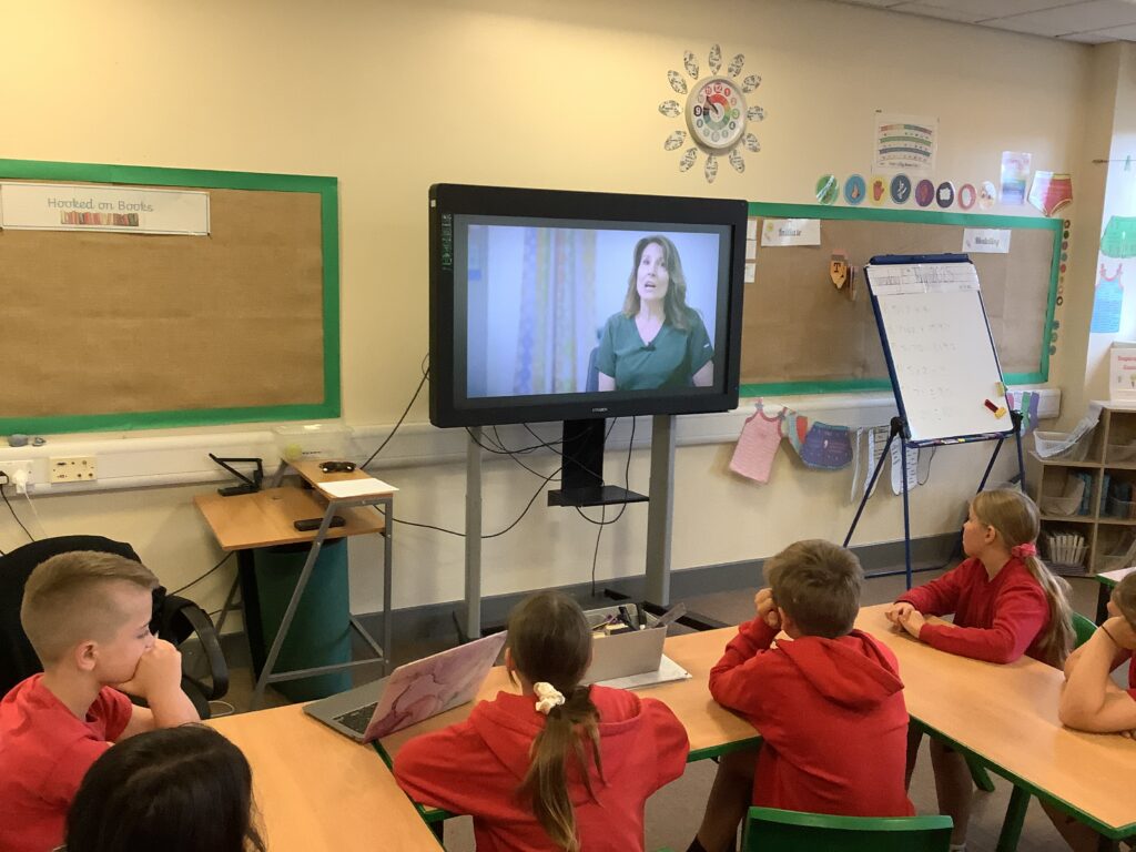
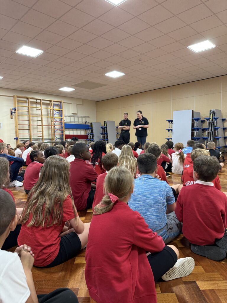
Today the theme of the day was… Health and care careers. To start with, we discussed all the different jobs that come under this theme. We then thought about sub categories- medical and hospital jobs, emotional and mental health jobs and care and community support jobs. From here we thought more about nurses, thinking about if we had ever met a nurse and where. What we thought a school nurse would do every day and why nurses are important for schools. We watched a clip on school nurses, writing down all the jobs the nurse did. We then answered the discussion questions, what was something the nurse did that surprised you? How did the nurse make children feel safe or better? What qualities do you think a good nurse needs? We then finished the sentence… ‘A school nurse helps children by…’ We then assessed our knowledge in a mini quiz!
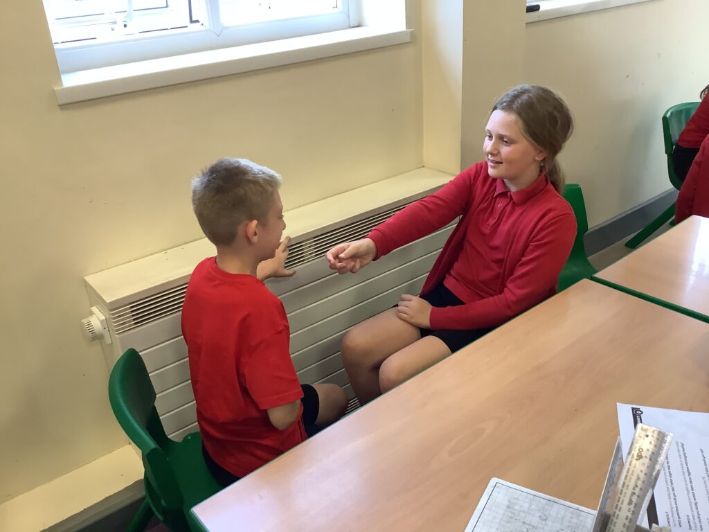
From here we explored some different scenarios making notes on what we would do as the school nurse. We then got into role, acting out some different scenarios, we played both nurse and patient.
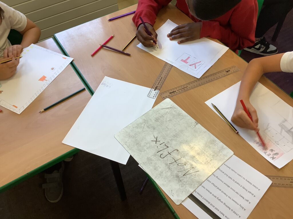
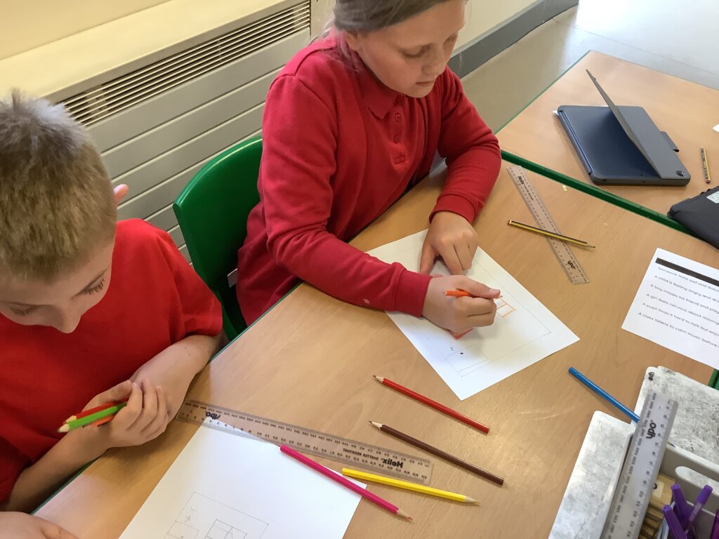
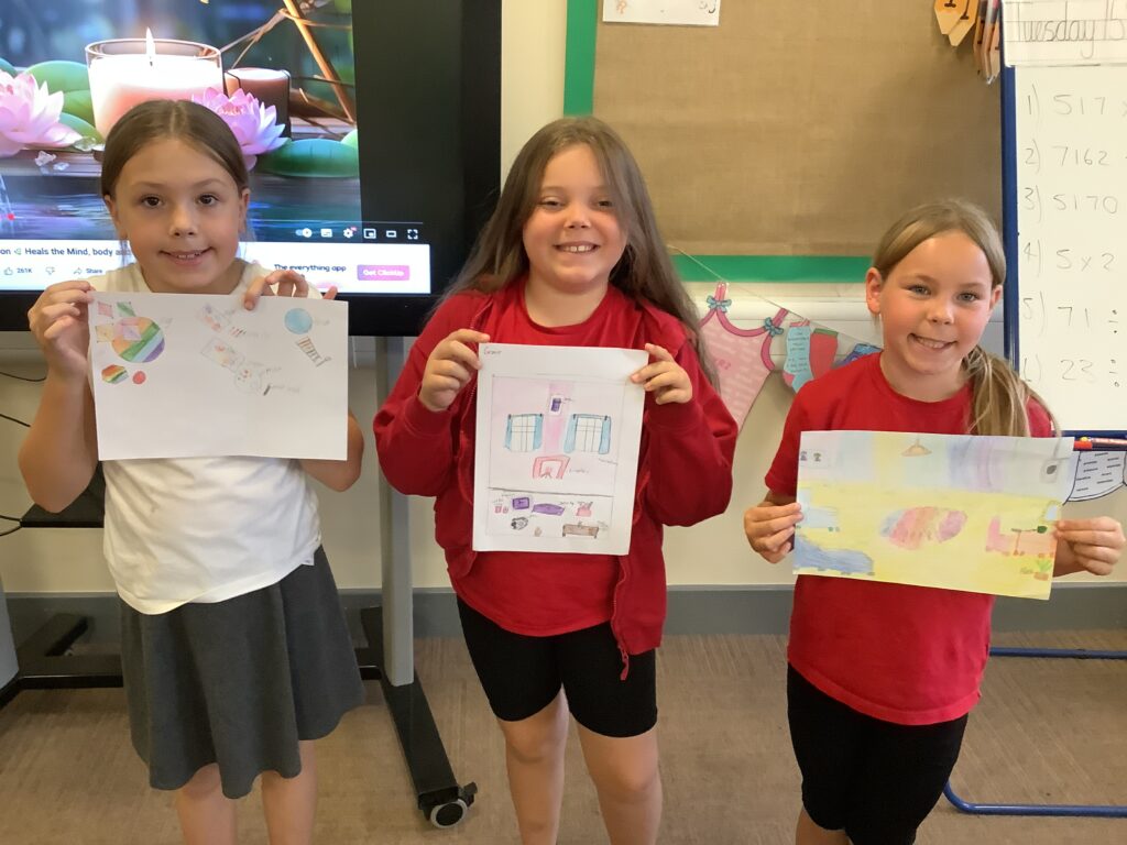
We then moved onto thinking about therapists, exploring what a therapist does and the types of therapists. We then matched different statements to the correct type of therapist. From here we designed our own therapy room, we created a calm space where someone feels safe, calm and listened to. Some children added comfy chairs, coloured walls, plants, a music player, art tables and soft toys! We ended the day listening to some calming music whilst completing some mindfulness colouring.
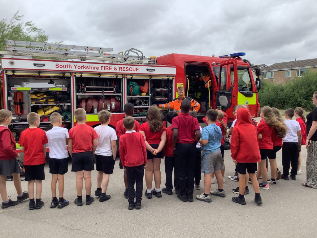
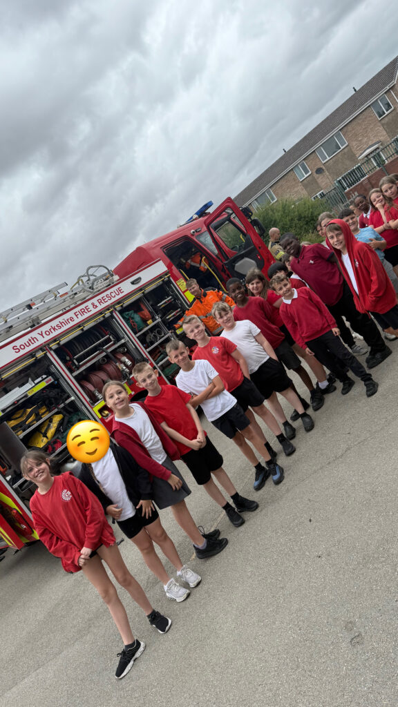
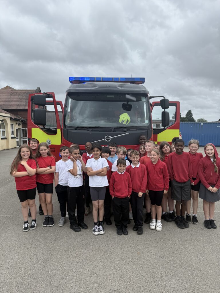
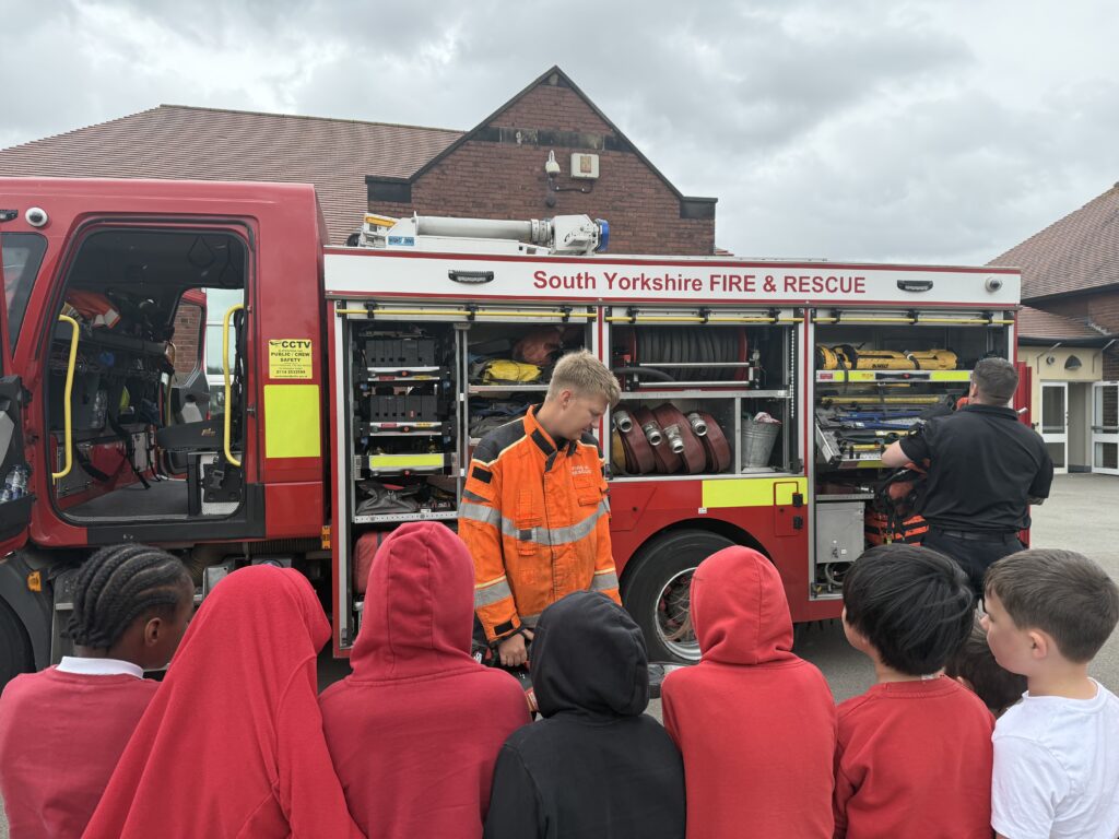
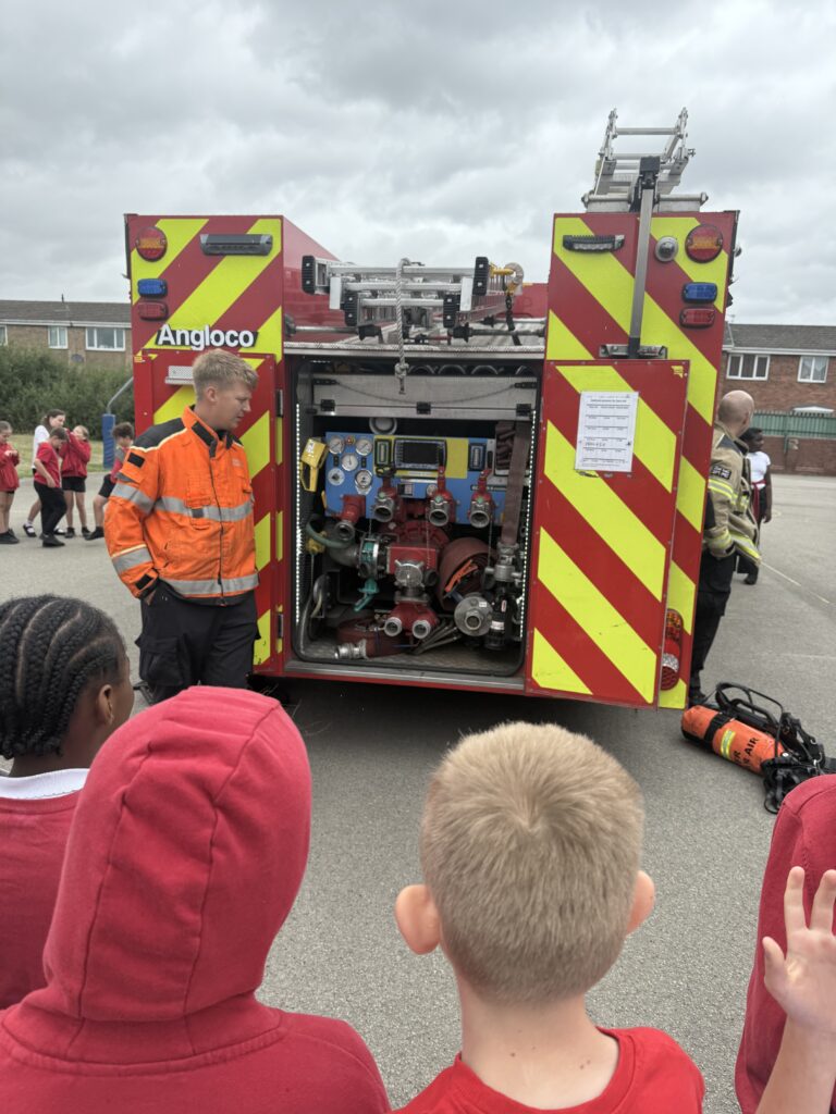
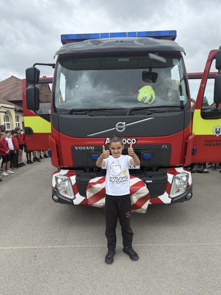
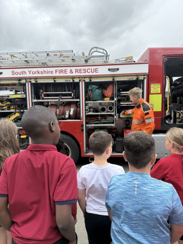
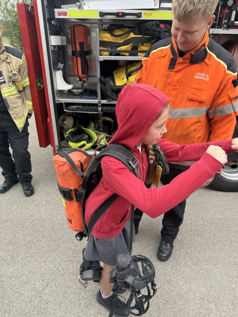
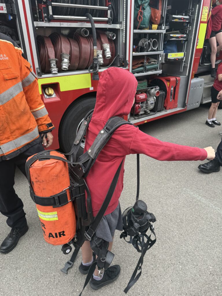
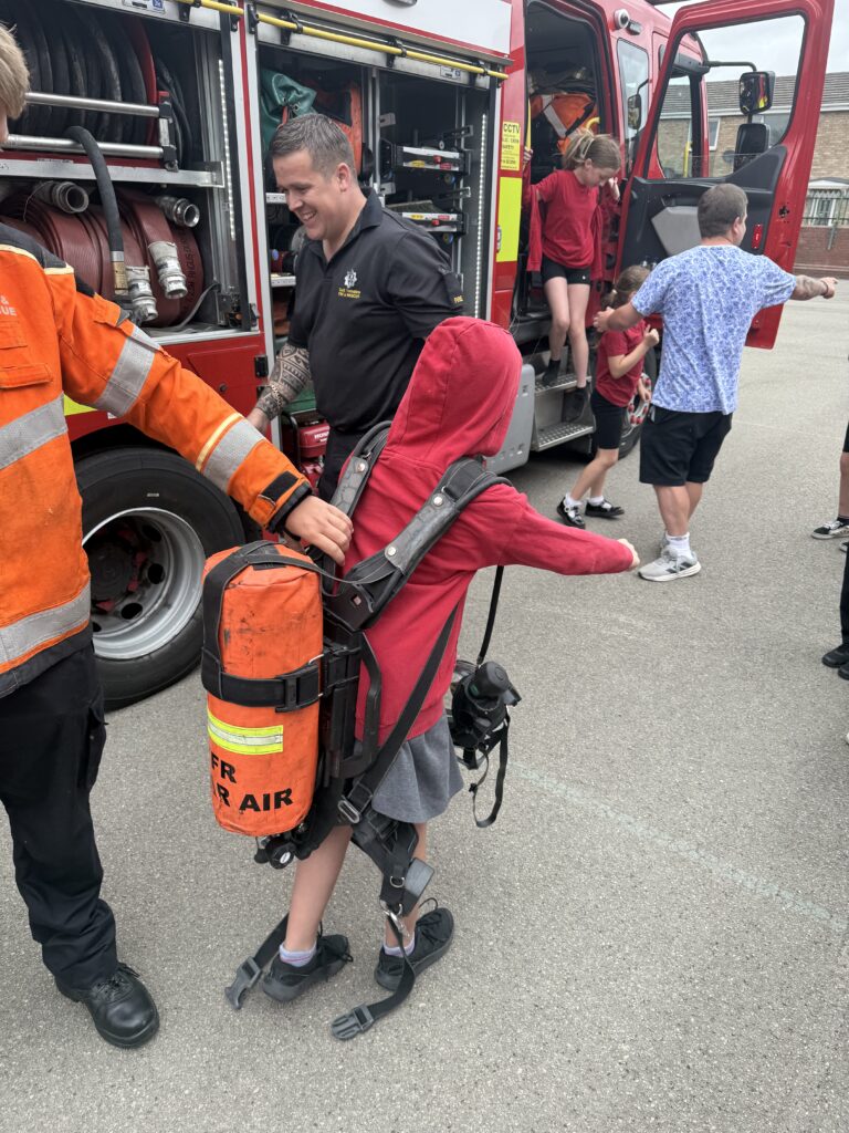
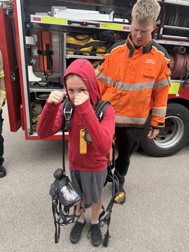
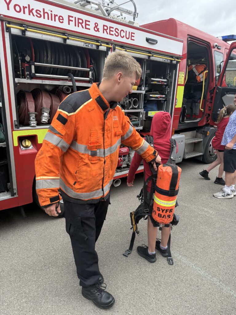
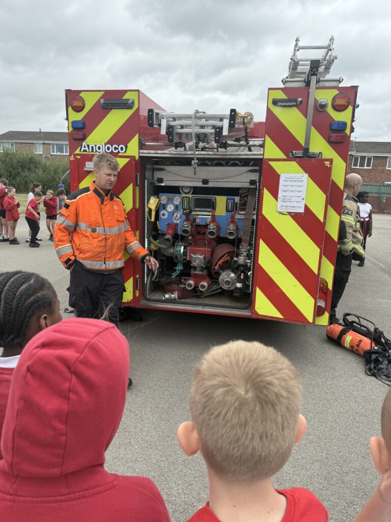
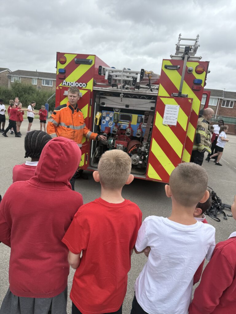
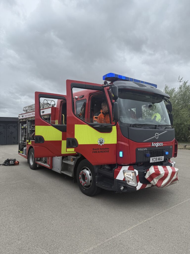
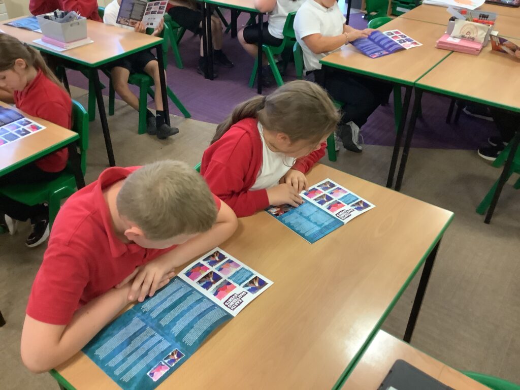
Crew MT enjoyed listening to a talk from the fire service this morning. They then enjoyed exploring the fire engine, learning about all the different parts!
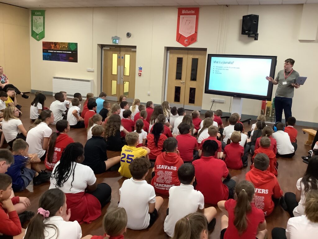
Today we started careers week with the theme in KS2 being ‘Find your future’. We will explore different themes all week, todays theme being media and communication. We kick started todays theme thinking about what aspirations are and what we dream of for our futures. We thought about the kind of person we want to be and the things we enjoy doing now that will add to our dreams for the future. Next we watched a video clip that showed us a variety of different jobs. We discussed these jobs at the end in mini crews, some of us changed our job choices for the future after watching! From here we explored the types of jobs… trades, professionals and unskilled. We discussed qualifications needed, experience needed and the skills and personal qualities required.
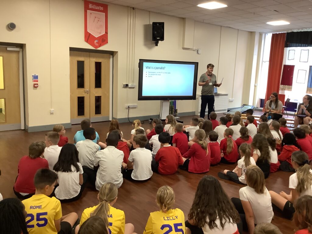
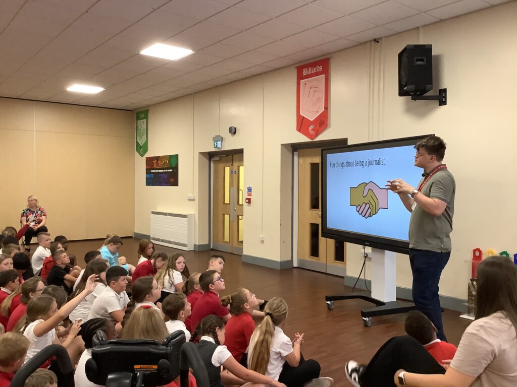
From here we headed into the hall to hear from a journalist living in Doncaster! We loved learning about what he has to do in his job and some of the personal qualities required. We answered lots of questions at the end 🙂
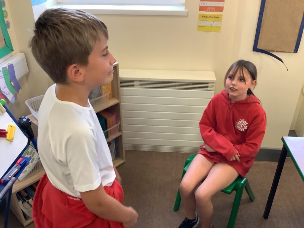
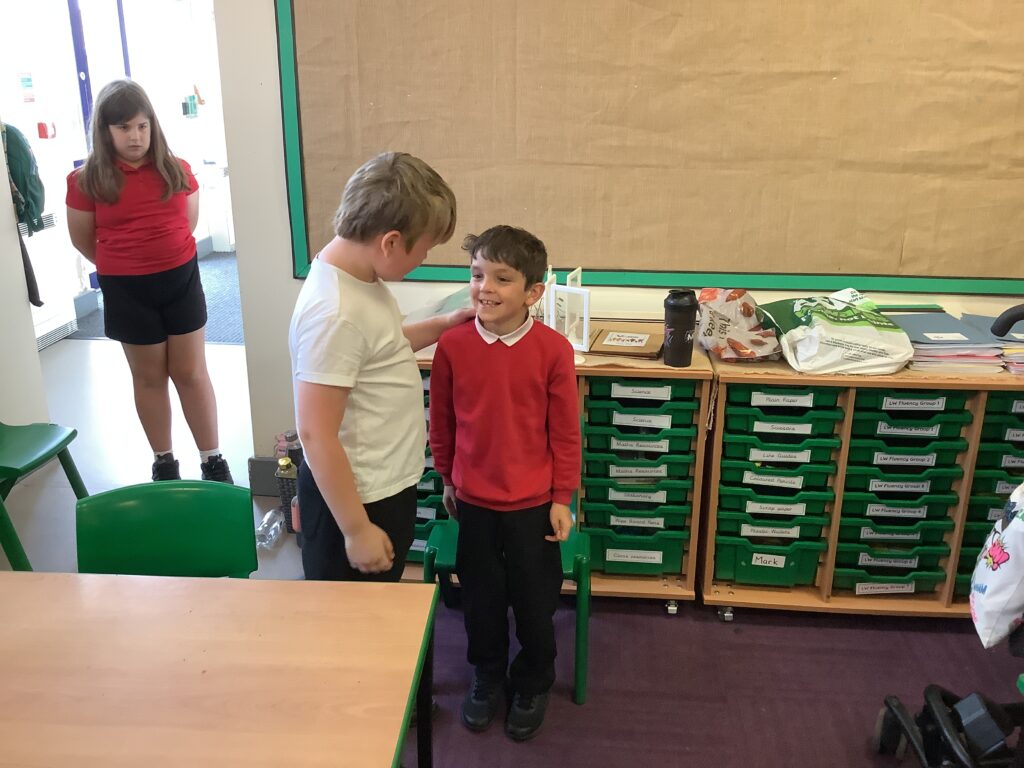
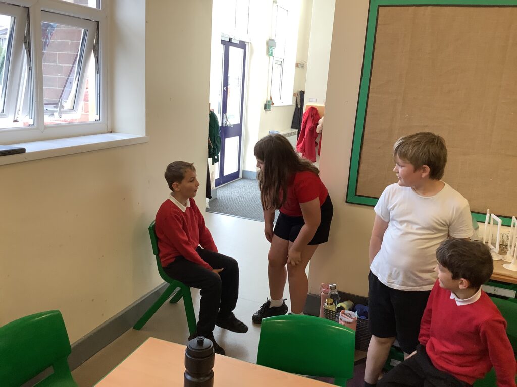
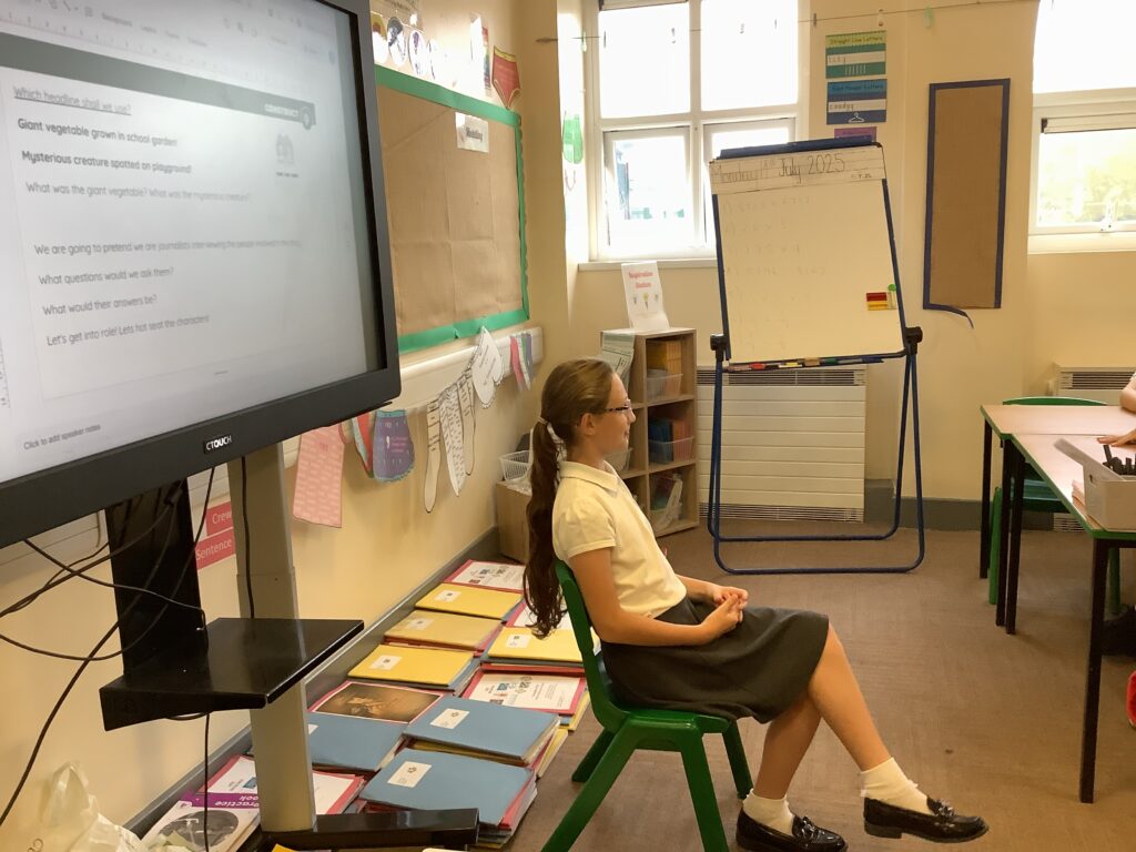
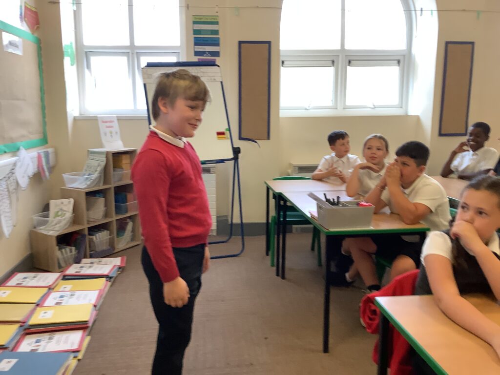
Listening really set us up for the next part of our learning back in the classroom. We watched newsround and thought about the journalists role. We were then given the headline… ‘Mysterious creature spotted on the playground’. We explored the headline together then became journalists! We interviewed all involved and took part in a hot seating activity! From here we created our own quotes to be part of our own class news article. Here it is…
Breaking News: Mysterious Creature Spotted on the Playground! Reporter: Crew MT, Year 4 News
Excitement filled the air at Carcroft Primary this morning when pupils claimed to have seen a strange, furry creature running across the playground. It had a long tail, it was approximately 1 metre tall and it had bright blue eyes!
“It was covered in brown fluffy fur and it flew across the field at lightning speed! Also it had crazy rabbit teeth!” said Shania from Year 4.
The mysterious animal was last seen disappearing into the bushes in the forest school. Teachers have checked the area but say they found only a few large footprints, some brown fur and some half eaten bagels with a can of doctor pepper.
Some pupils believe the creature may be a lost pet, while others think it could be something magical.
“I think the creature is very mysterious, it was a cross between a tiger and a bunny,” announced Summer from Year 4. “It was so weird!”
The school has asked pupils to stay calm and not feed any mystery animals. More updates will follow after lunchtime.
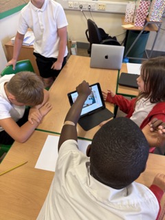
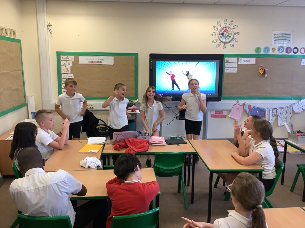
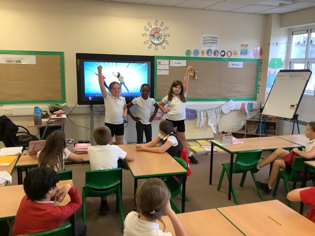
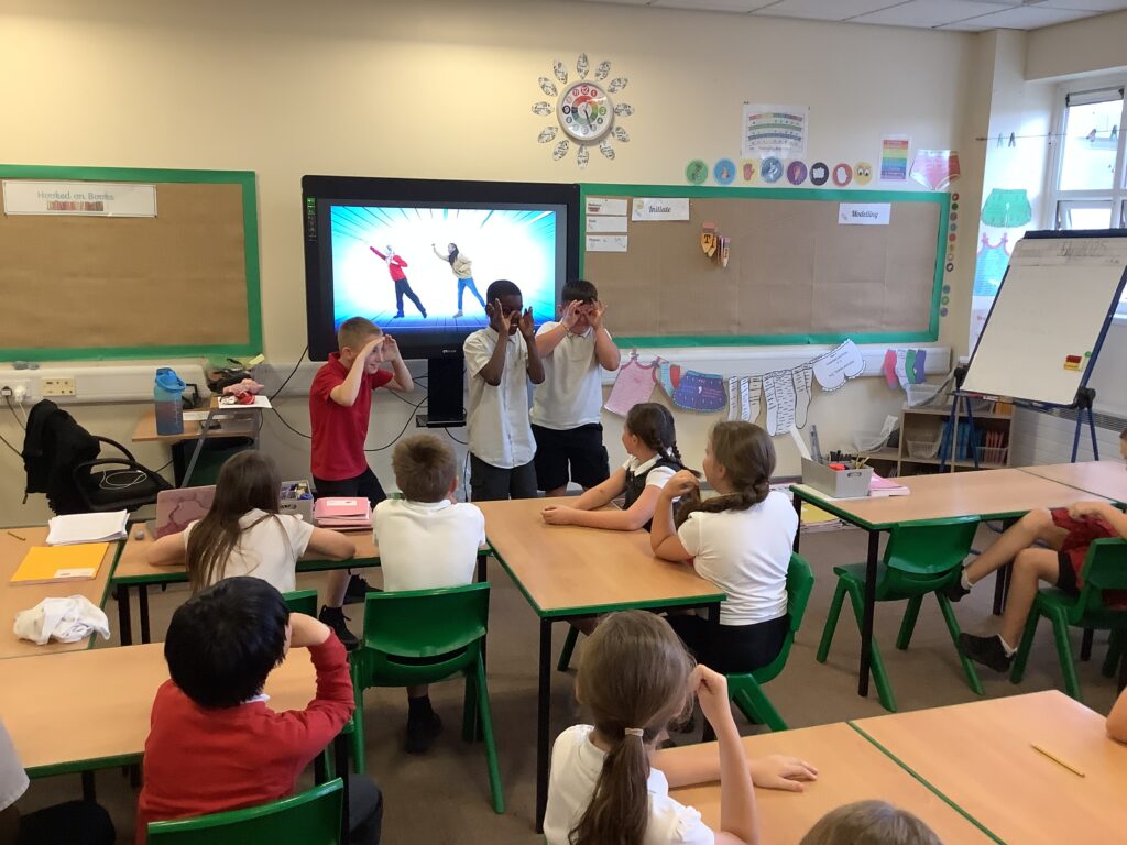
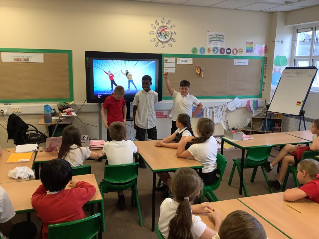
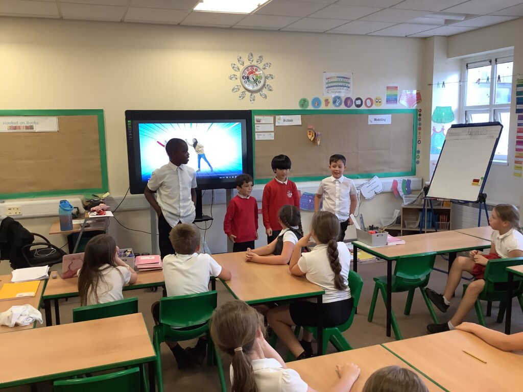
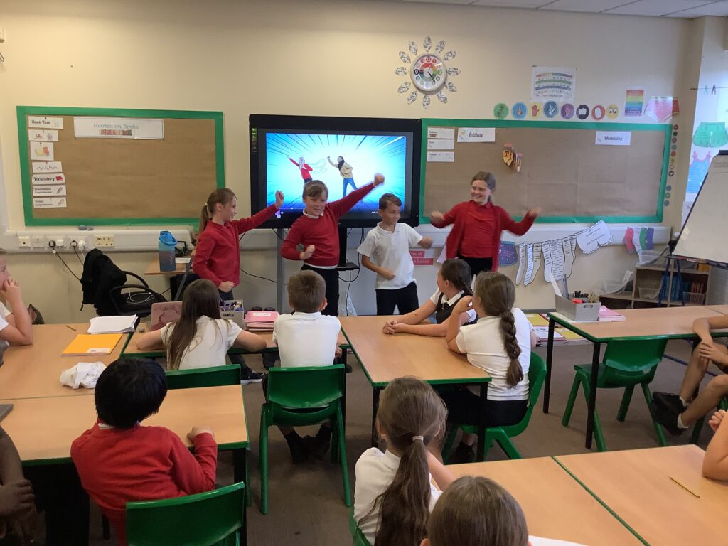
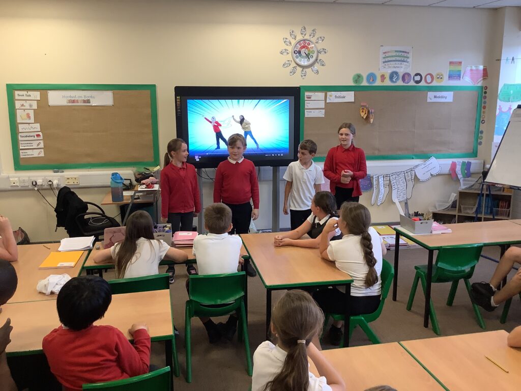
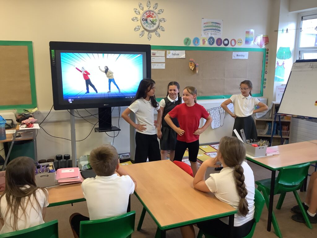
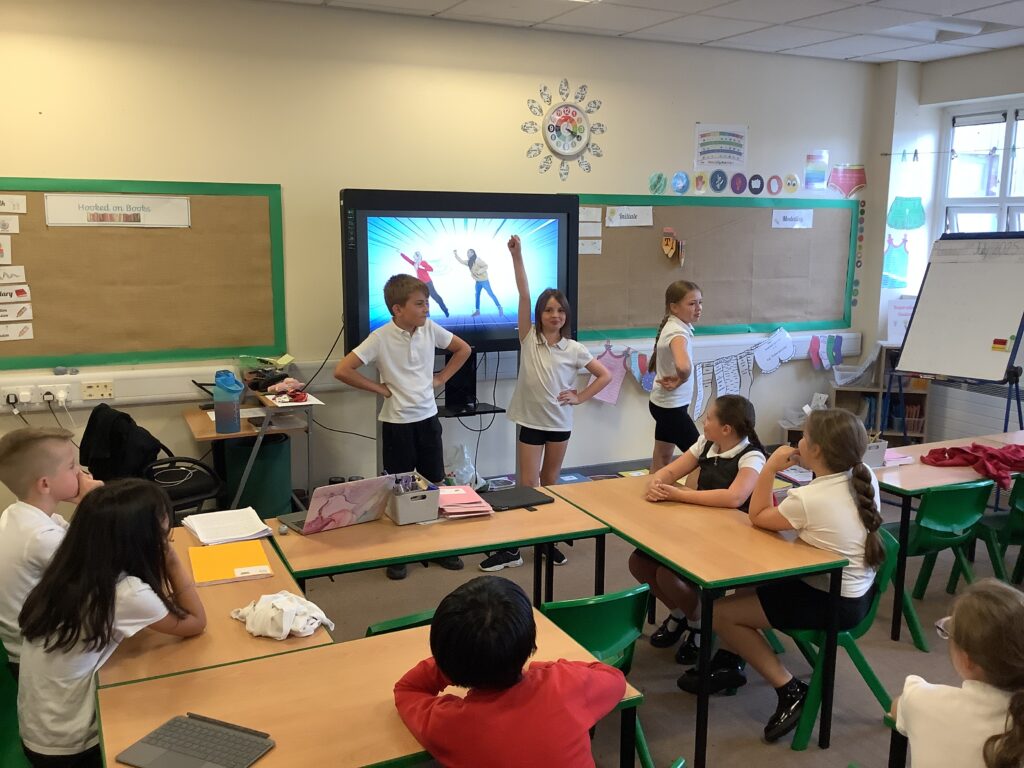
From here we looked at presenting! We explored a KS1 video around dance. We unpicked the video thinking about the traits needed in order to be in this line of work. We then had a go ourselves, working in mini crews to do this. We thought about ways to engage the audience and had to work together to create the script. We then presented our video to the rest of the crew.
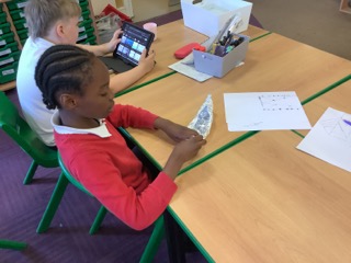
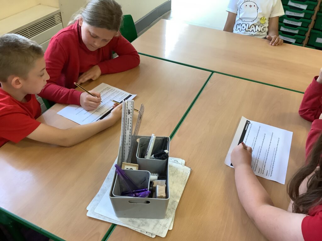
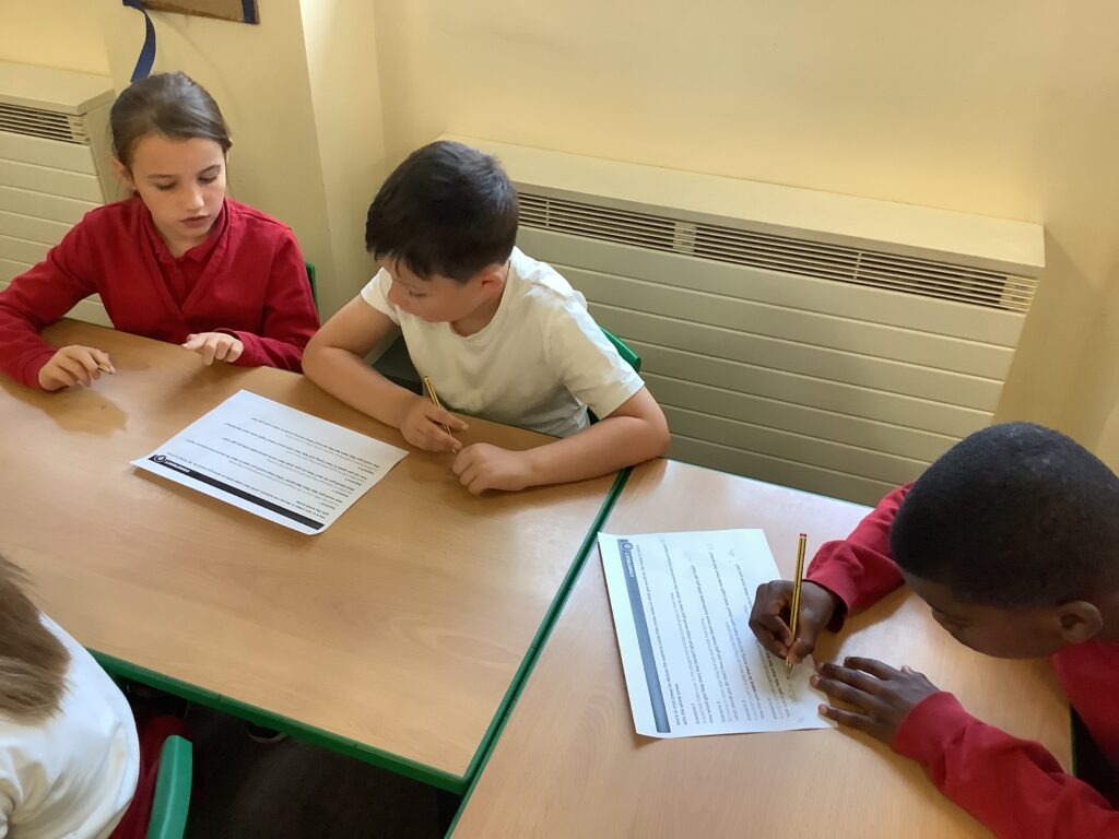
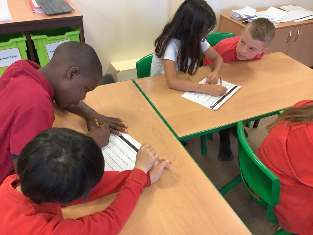
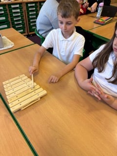
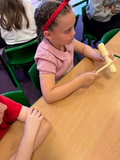
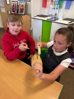
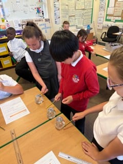
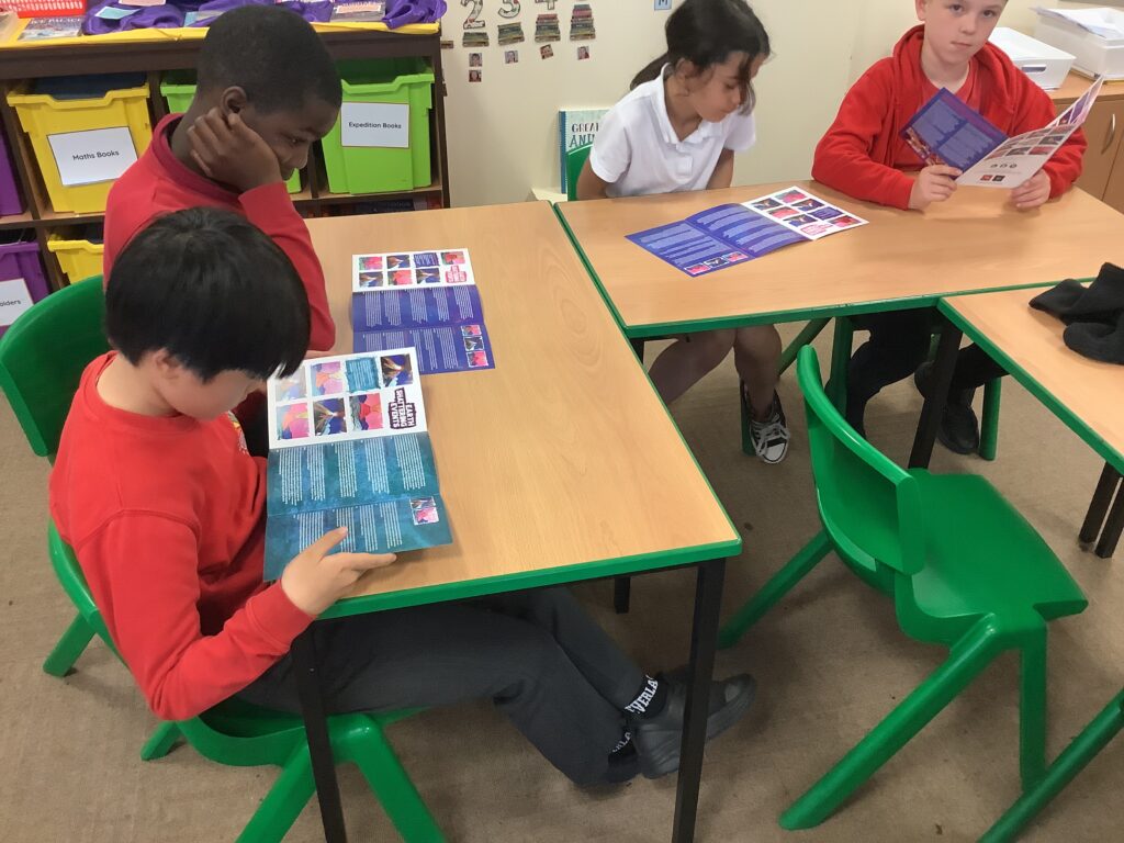
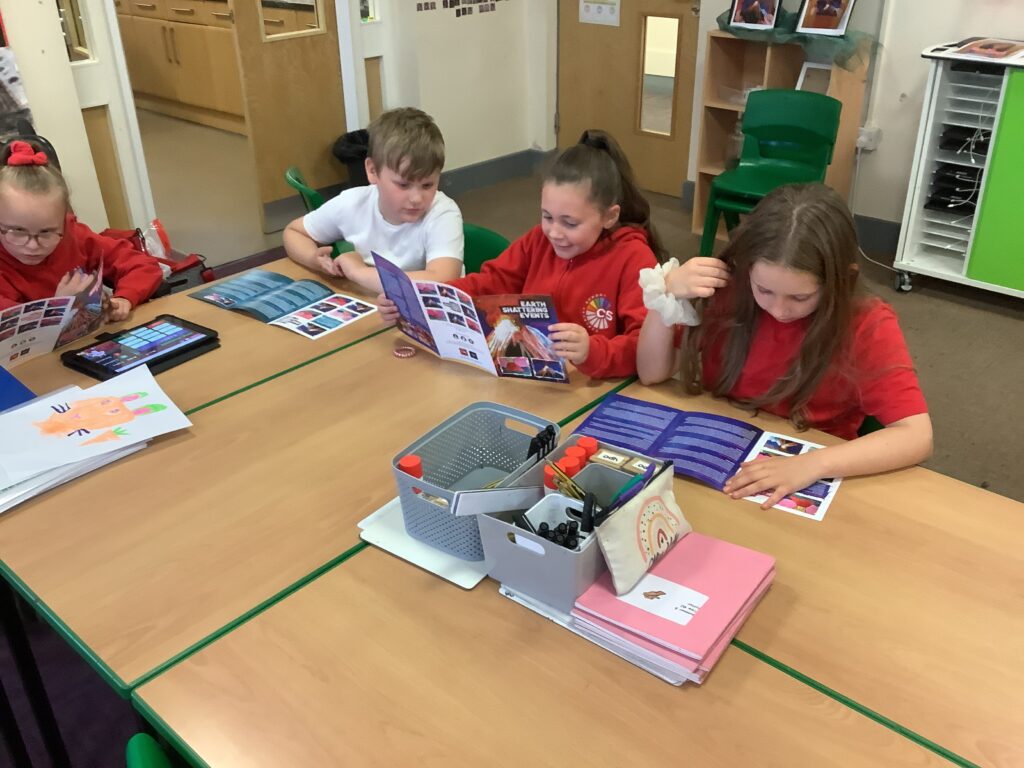
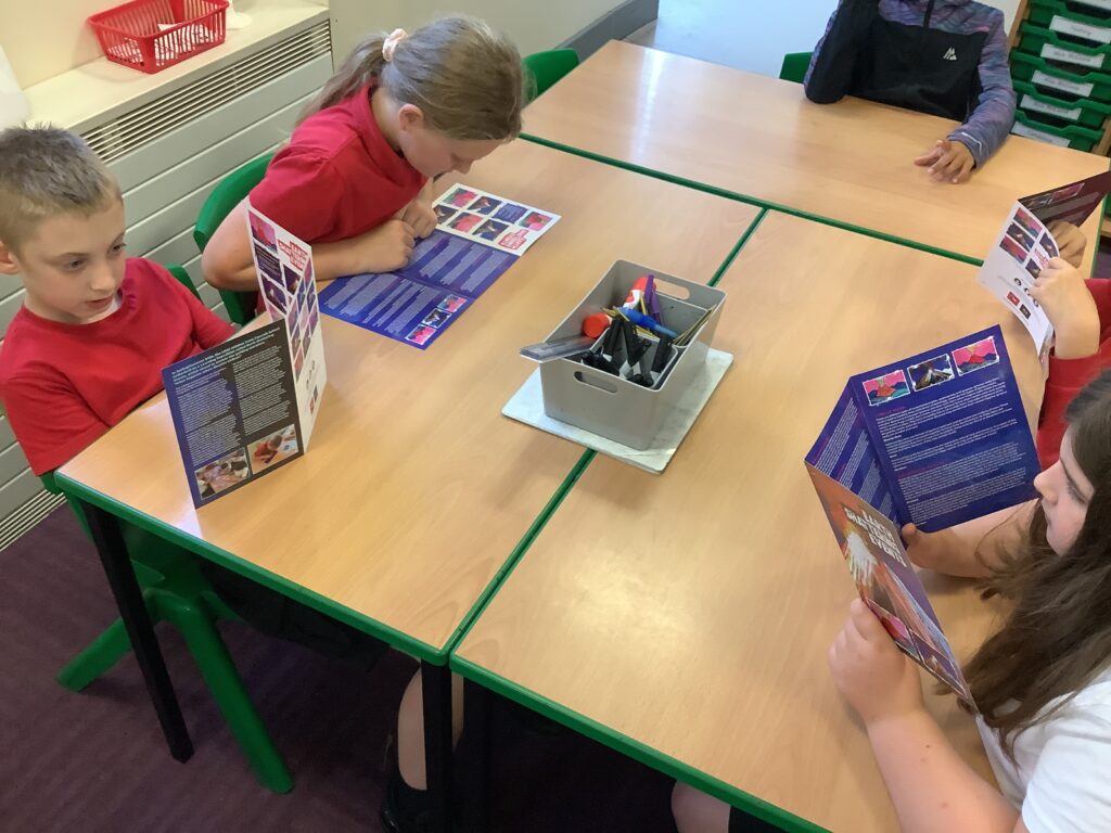
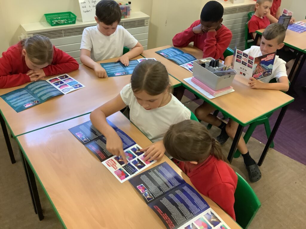
In expedition, we carried out 6 mini experiments to investigate how the pitch of the sound can vary with different sound sources. We found out that the pitch of the sound can change. For example, when a container has more water in it, the pitch was lower and when it has less water the pitch was higher.
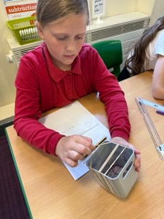
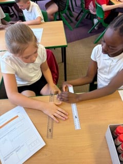
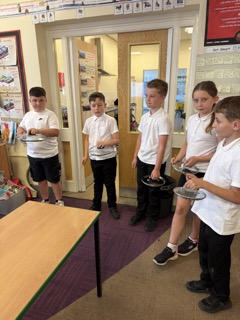
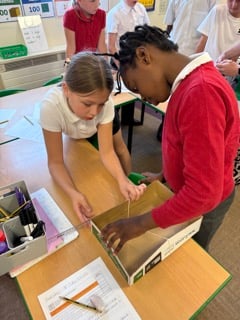
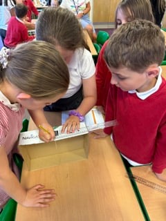
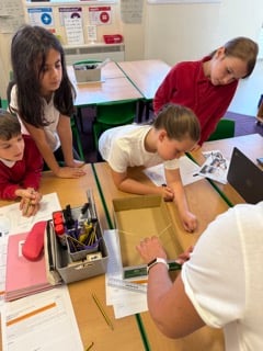
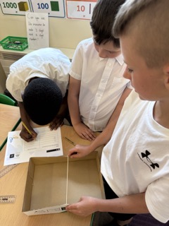
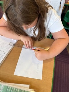
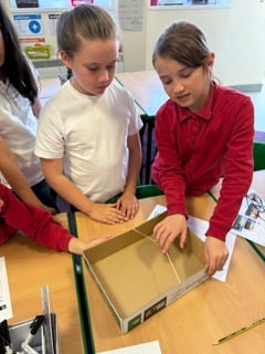
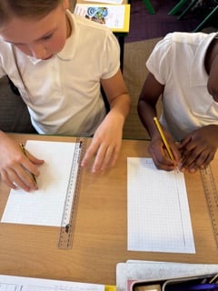
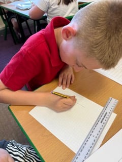
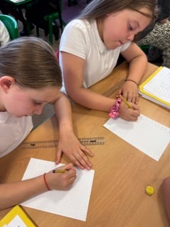
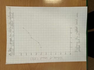
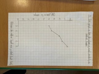
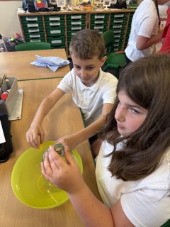
In expedition, we conducted an experiment to investigate how the volume of sound made is affected by the distance a rubber band is pulled back. We placed a rubber band around the carboard box and pulled it back different distances. We measured the sound it made using a sound meter. We then recorded these results in a table. We concluded that when the rubber band was pulled back further, it was louder. This was because the vibrations were larger. When the distance was shorter, it made a quieter sound. This was because the vibrations were smaller. We then used the results to draw a line graph. We used our recent maths knowledge (statistics) to help us figure out the scales for the axis. We were really resilient doing this and had some great line graphs!
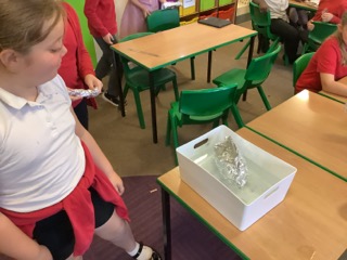
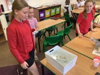
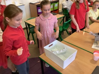
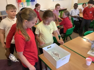
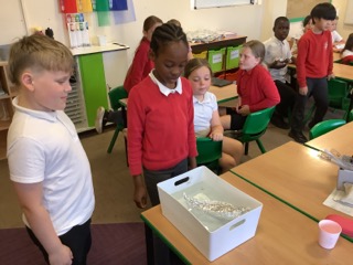
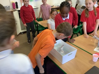
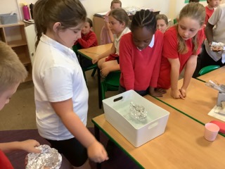
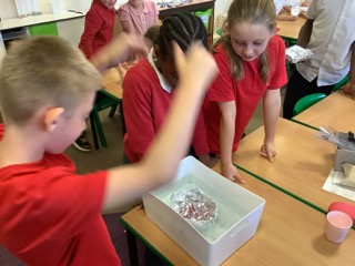
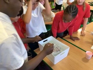
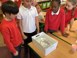
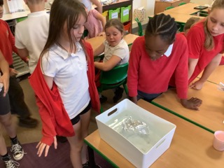
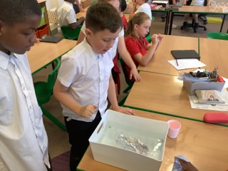
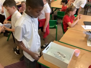
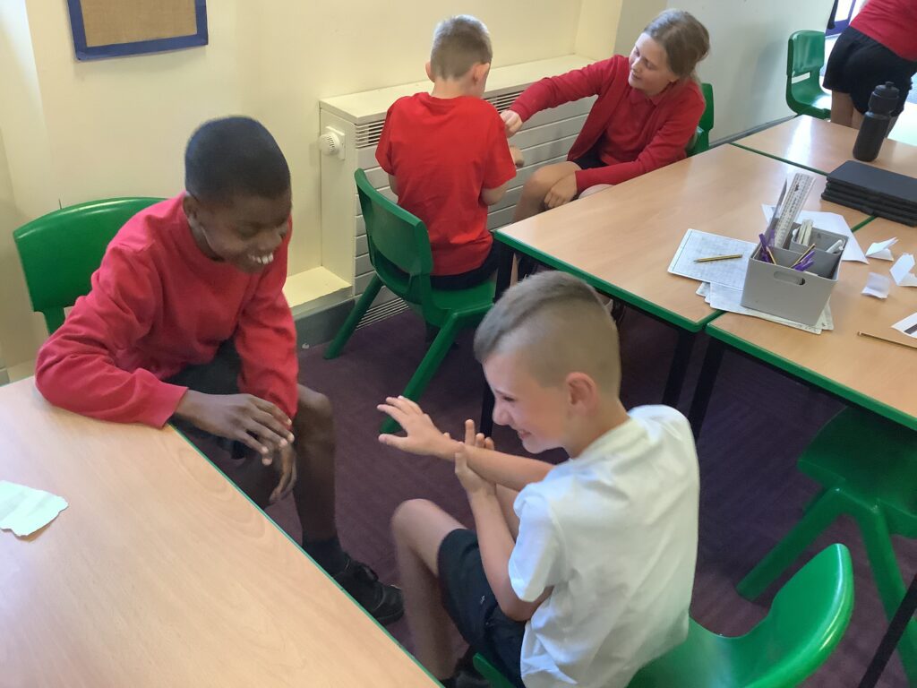
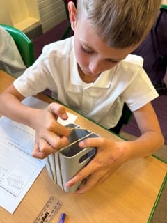
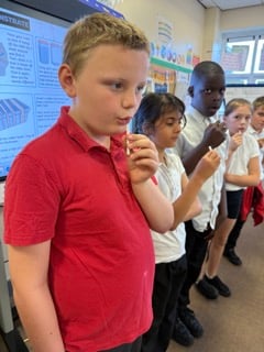
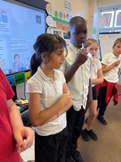
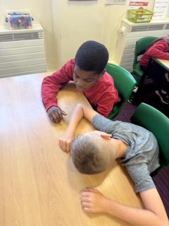
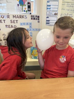
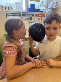
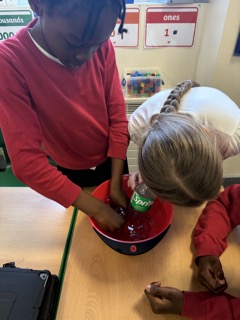
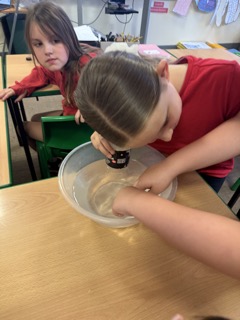
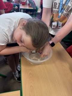
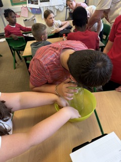
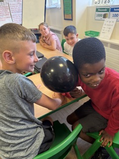
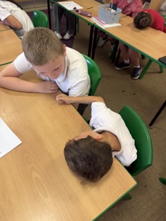
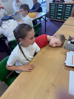
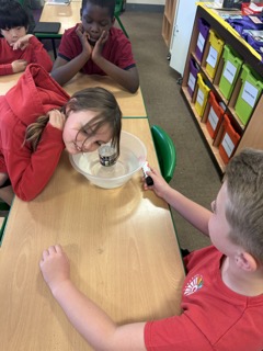
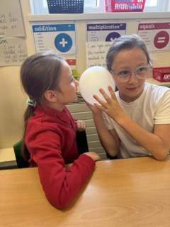
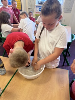
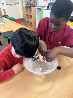
Today, we carried out an experiment to see if sounds can travel through solids, liquids and gases. First we made a prediction as to whether we thought that sound would travel through the different mediums. Then we started by investigating if sound could travel through solids. Partner one rested their ear on the table while partner two tapped underneath. We recorded how clear the sound was. Next, we then used a bowl of water and a plastic bottle to investigate how sounds travel through liquids. We put the bottle into the water and gently rested our ear on the bottle. We then tapped the cubes in the water to see if we could hear the sound. The last experiment we conducted was to test to see if sound travels through gases. We used a balloon to test this. We placed the balloon next to our ear and our partners talked into the balloon from varying distances. We concluded that sounds can travel through solids, liquids and gases but from the results of our experiment, they travelled best in the gas and worst in the liquid.
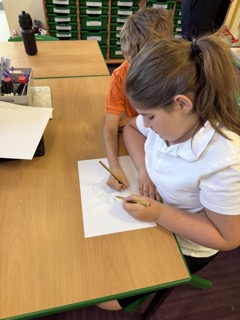
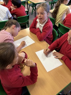
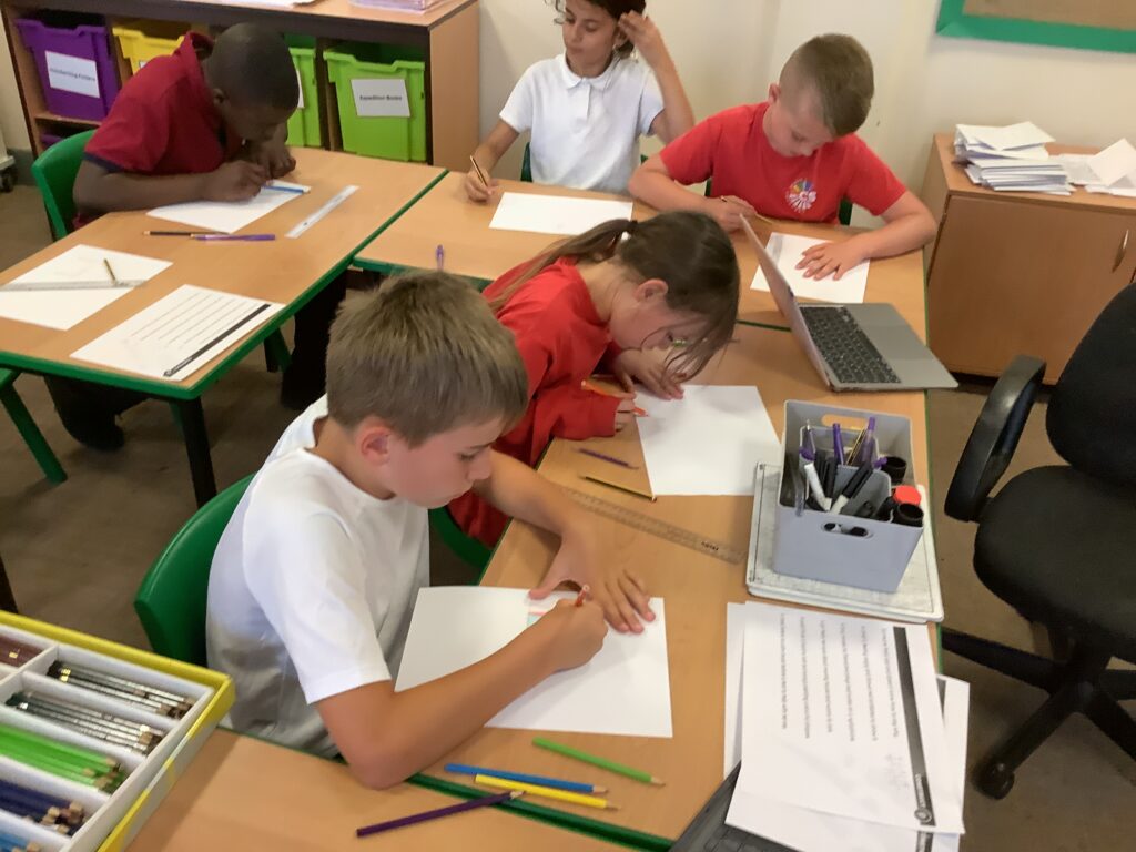
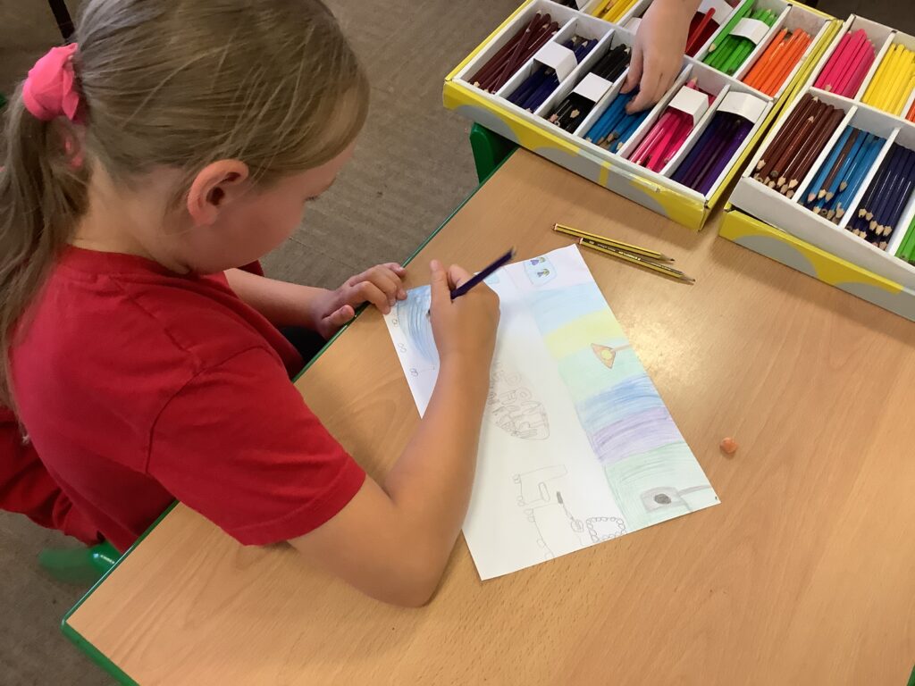
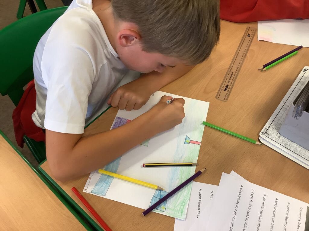
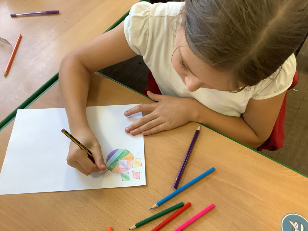
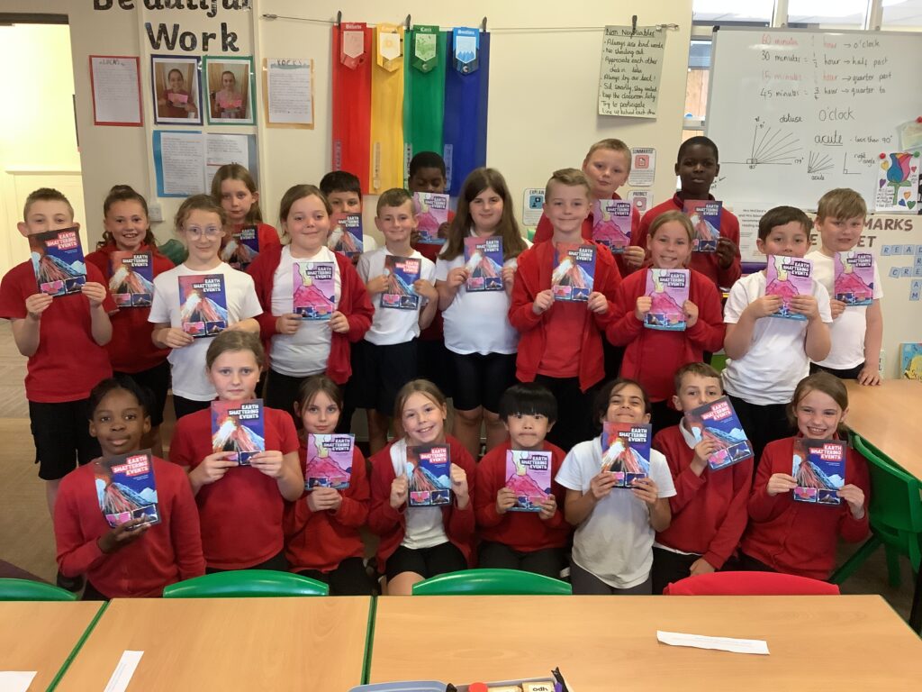
Today we shared our final product with each other. We all shared our paragraph of writing in mini crews along with our art work. We are all so proud of what we have achieved!