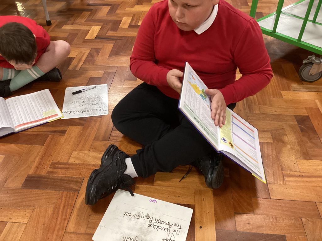
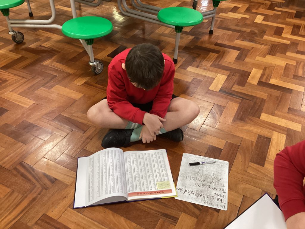
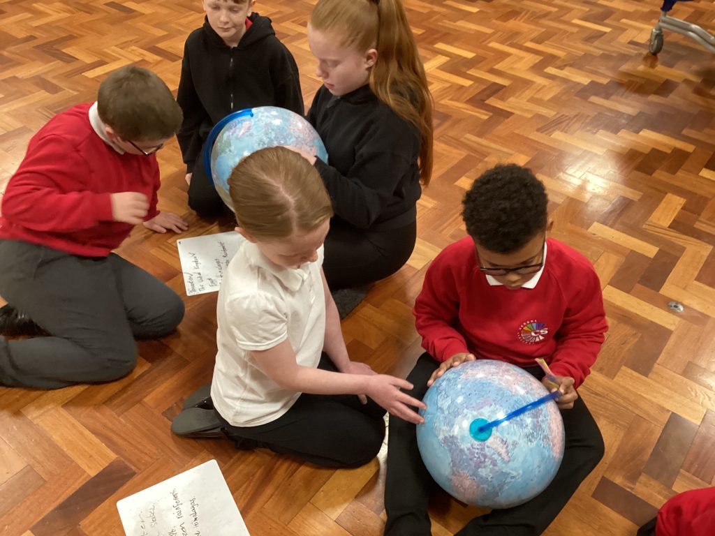
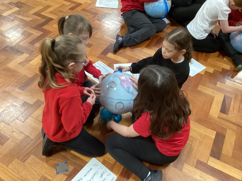
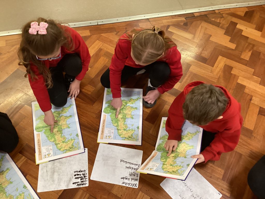
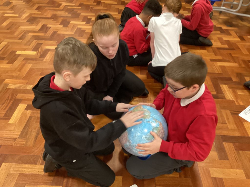
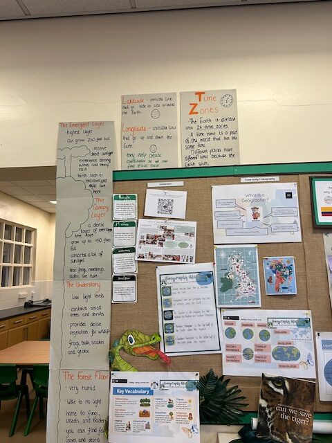
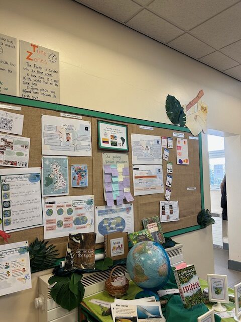
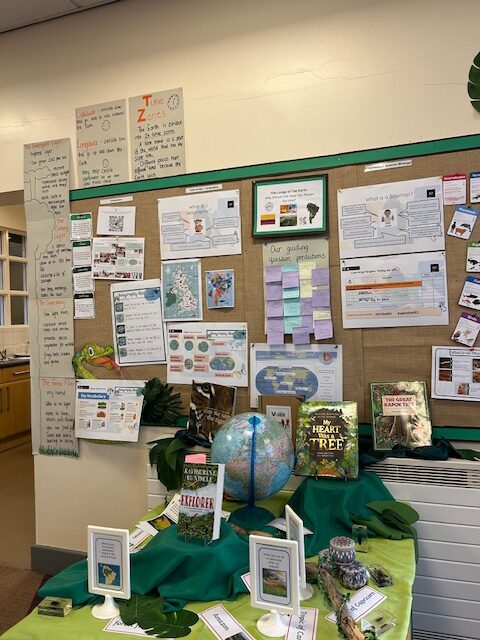
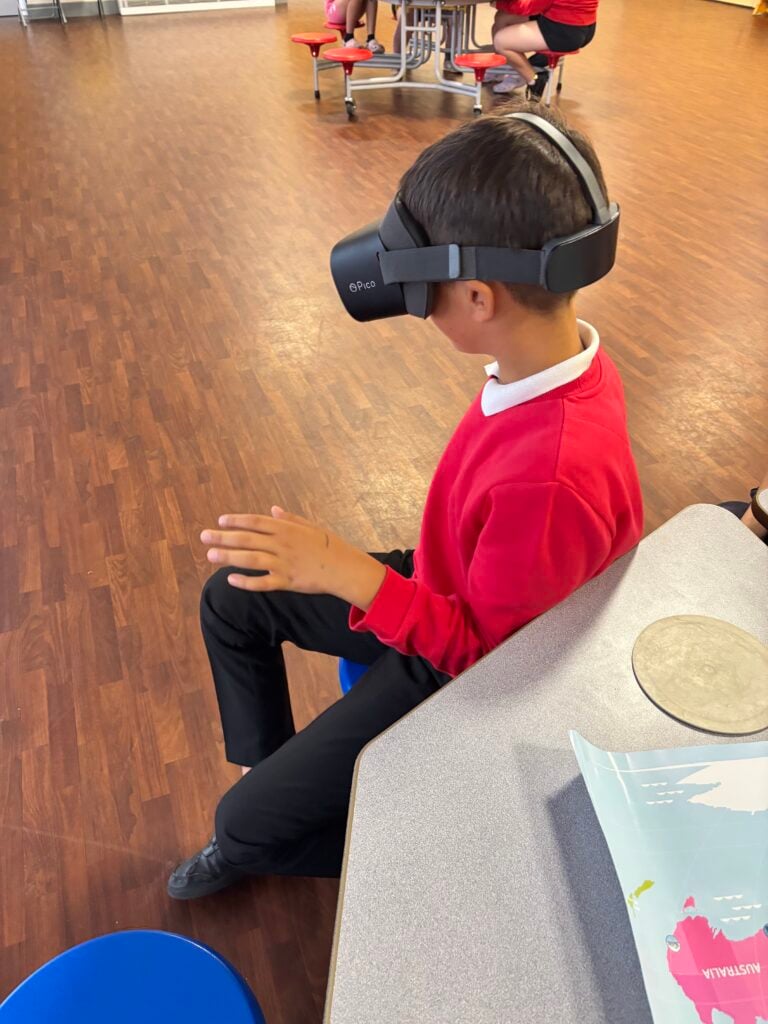
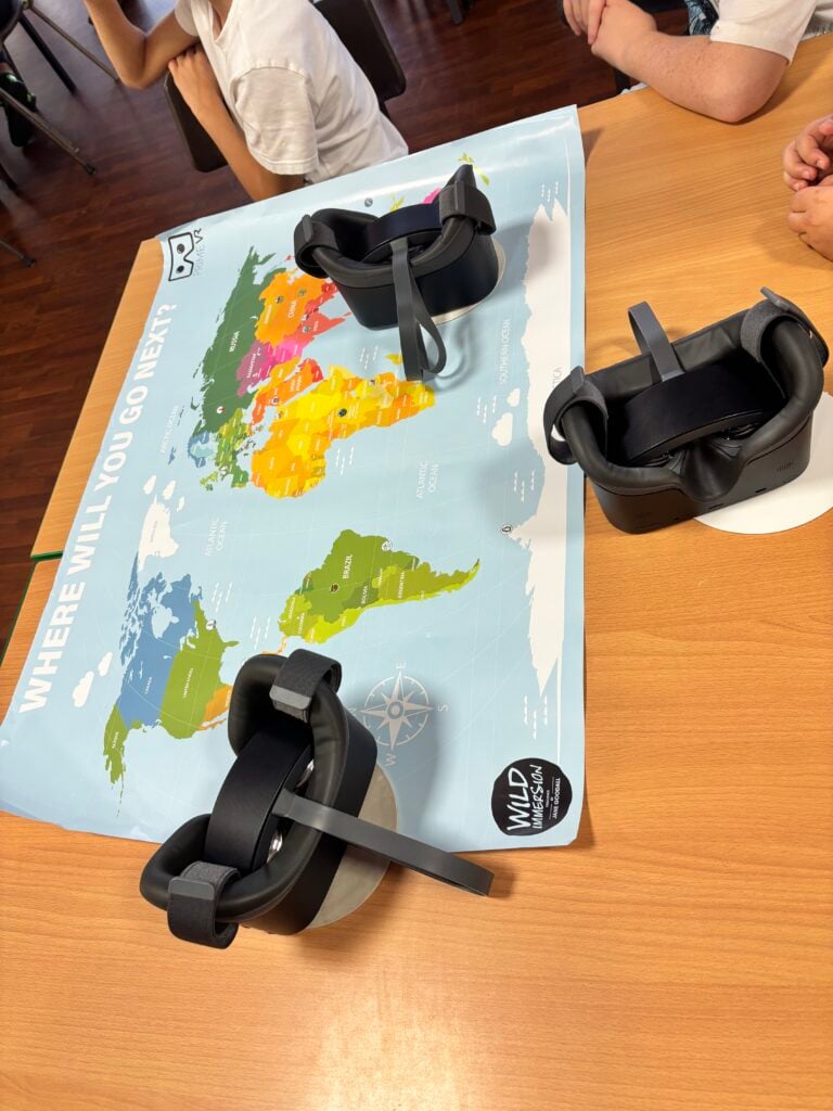
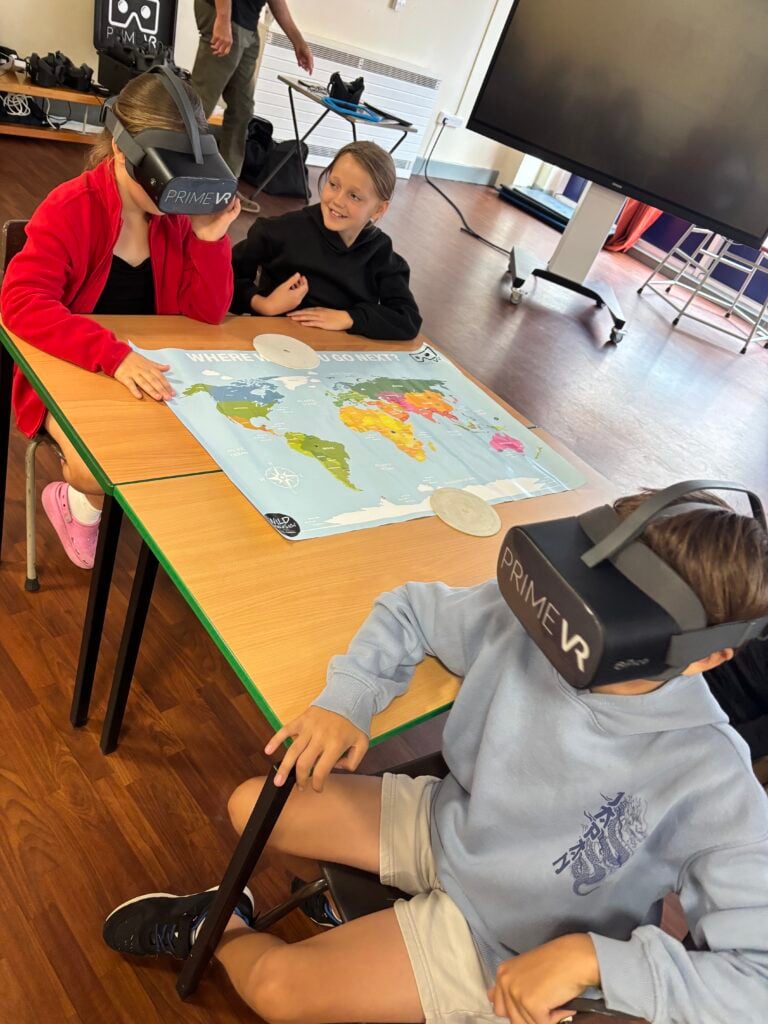
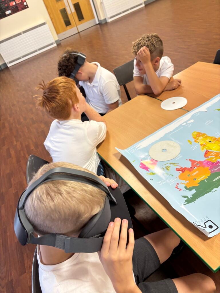
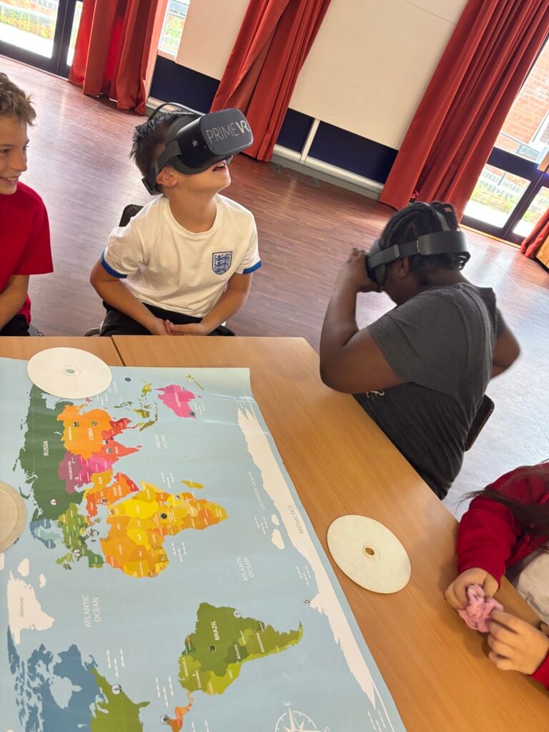
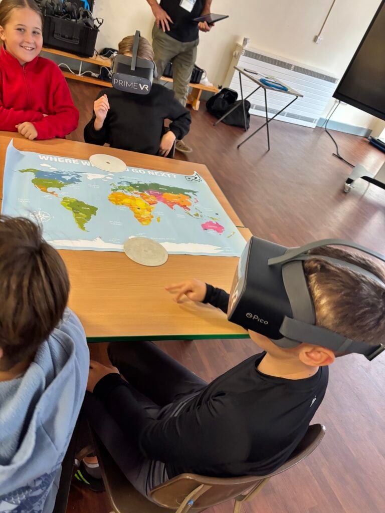
How do people use water?

This week we continued our geography case study by exploring the reasons why humans use water. We learned that water is used for drinking, agriculture, leisure, transportation, making electricity and as habitats for animals and plants. As well as exploring the uses of water, we also learned about the impact this can have on the environment. In some cases this can be positive, however, in others it can be negative.

Understanding Tectonic Plates

To depend our understanding of tectonic plates and their movement, we used crackers and whipped cream to represent the tectonic plates and molten lava. We had the opportunity to move the plates so that when they moved away from each other the lave (cream) was able to seep through. This is what would happen with a volcano. We then rubbed the plates (crackers) together which represents what happens during an earthquake. Finally, we used the cracker and rice cake to show what happens when 2 plates push together. This is when mountains would be formed.

Identifying Features of a Map

Today, Crew Hamill began their first lesson for Case Study 2 – Geography. We became geographers by looking in detail at maps, identifying what they are, why they are used and what they help with. We also looked in detail at the different symbols that can be found on a map and what they mean. We worked in pairs to match up the symbols to their meaning. Once we had more of an understanding on this, we worked in pairs to identify the symbols on a map of our local area, identifying schools, buildings, dual carriageways, water, railways and more.

The water cycle!

In expedition, we investigate how water travels around the world. We found out that the continuous movement of water around the Earth is called the water cycle. The four main stages of the water cycle are: evaporation, condensation, precipitation and collection. We set up an experiment to see how the water cycle works. We cant wait to see if evaporation and condensation happens!

UK rivers!

In expedition, we have used maps and digital technologies to find rivers and canals in the UK. We found several rivers and canals that flow through Doncaster such as River Don, River Torne, River Went, New Junction Canal and Stainforth and Keadby Canal. We then used the maps and iPads to label the rivers in the UK. To consolidate our learning over the last few lessons, we completed a Kahoot quiz.

Uses of rivers

Today, we looked at the different ways in which we use rivers. We first started by exploring the rivers and canals that flow through Doncaster. This included the River Don, Stainforth and Keadby and New Junction Canals. We recognised a couple of the photos which were taken in Doncaster. Then we looked at the uses of rivers and canals. We found that we can use rivers for transportation, leisure, irrigation, hydroelectric power, drinking water, habitats and ecosystems, and fishing. We then matched the use to the impact that it can have on the environment. Some of them had both positive and negative impacts on the environment. For example, people who use rivers for leisure activities such as kayaking and canoeing are improving their physical and mental health but they could pollute the waters and destroy habitats.

Exciting earthquakes!

In our lesson, we used our prior knowledge about tectonic plates and began to deepen our thinking around what they could cause. We discussed how the movement of tectonic plates can cause earthquakes. There are three different tectonic plate boundaries where earthquakes occur: convergent, divergent and conservative. We then demonstrated our newfound knowledge in an experiment. We used crackers and cream to show how the tectonic plates move at the different boundaries. At the divergent plate boundary, the tectonic plates move apart. At a convergent plate boundary, the plates move together and the denser oceanic plate subducts under the lighter continental plate. Finally, at a conservative plate boundary, tectonic plates slide past each other. Friction happens and pressure builds up which is released as an earthquake. We showed these using the crackers and cream!